

Public Buildings. Simplify indoor navigation and field coordination in your public facility.
Wayfinding, scoped visitor counting, and muster roll coordination across public facilities.
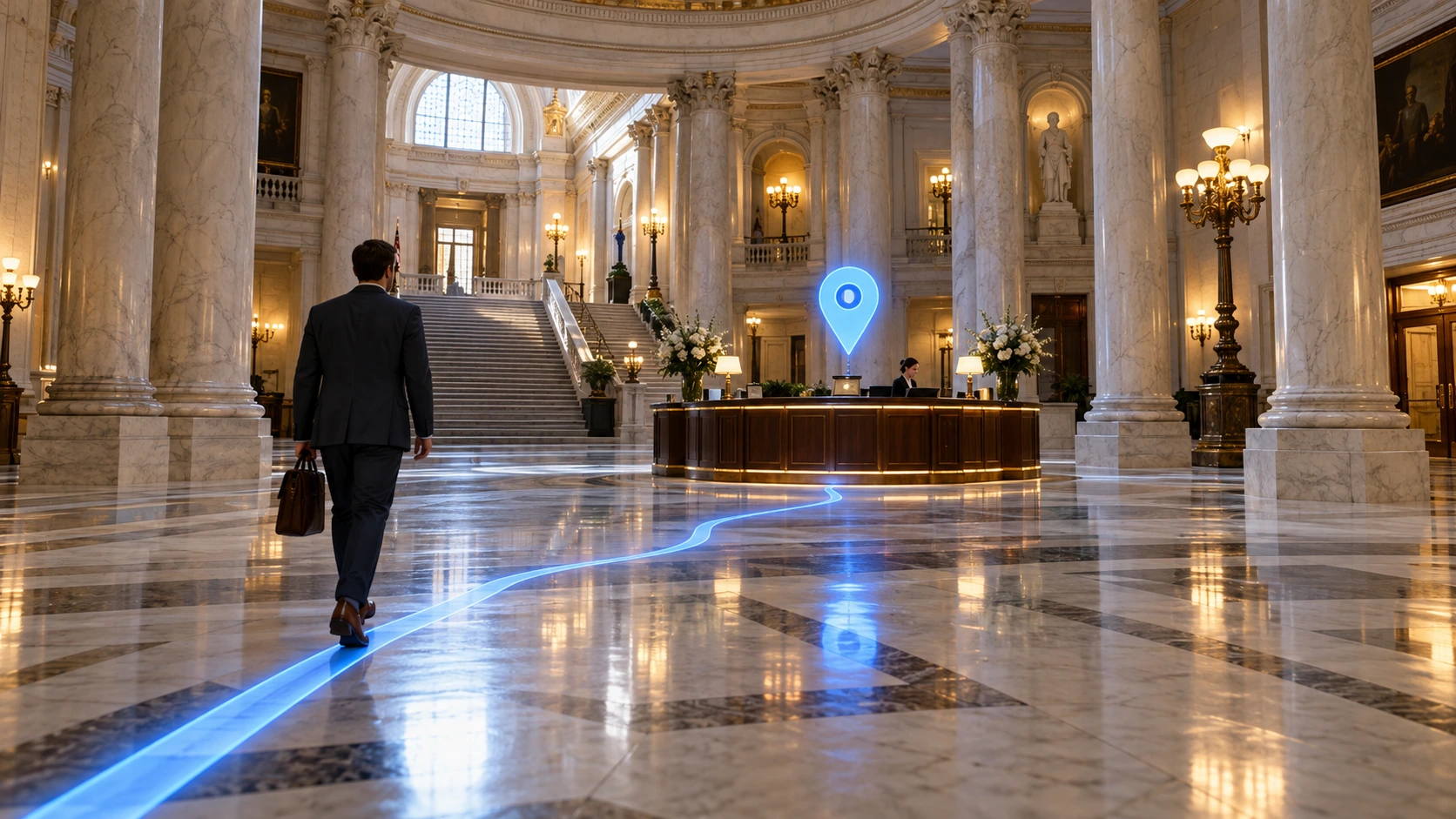
Top 3 priorities for Public Buildings
Most frequently addressed needs in this industry with direct field impact.
Service counter wayfinding
Locate information desks, applications, and rooms; guide visitors on the map.
Scoped attendee count
Track area counts and timestamp freshness for enrolled badges without assumptions.
Emergency muster check-in
Share roll-call events reaching muster stations with response teams in real time.
Explore Public Buildings operations in detail
See what changes in the field and how value is delivered at every step.
Guide people to the service point
Find the information desk, application office or meeting area in the app. Show floor transitions and accessible routes on the map.
See the count with its scope
Monitor the area records and latest data time of defined attendees. Separate duplicate reports from the same device; keep missing data visible.
Shared information in an emergency
Share the attendance records that reach assembly points with authorized teams. Show cases awaiting confirmation and those without current information separately.
Keep the record when the connection drops
The record on the mobile device is transferred when the connection returns. The event time on site and the time the center received it are kept separate.
Mobile Guidance & Operations in Public Buildings
Equip personnel and visitors with verified indoor wayfinding and telemetry on mobile devices across Public Buildings facilities.
Facility zones and data flow analysis
Map Studio analyzes facility type, zones, and data flow together. Select a zone on the map to see recommendation rationale, required data, and expected benefits.
Public Buildings spatial analysis
Helps improve your operational workflow by analyzing movement and transitions across facility zones.
Integrated solution families
Integrated solution modules delivering the highest efficiency in this industry.
Maps & Navigation
Guide people, assets, and workflows safely across indoor and outdoor spaces with spatial intelligence.
People
See your employees, visitors, and field teams on a single platform. Enable safer, more efficient, and coordinated operations.
Safety & Emergency
Run occupational safety, emergency response, and daily incident management on a single platform.
Frequently asked questions
Is everyone in the building counted automatically?
No. App and defined device data only reflect registered participants in scope. Total occupancy estimation requires separate building infrastructure.
Does roll call prove the person is currently safe?
A roll-call record is a timestamped event at a specific checkpoint. Ongoing safety status is validated by the organization’s response procedures.